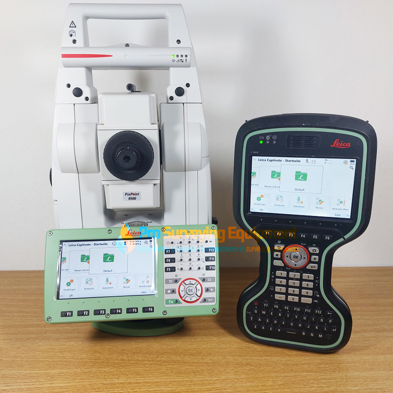
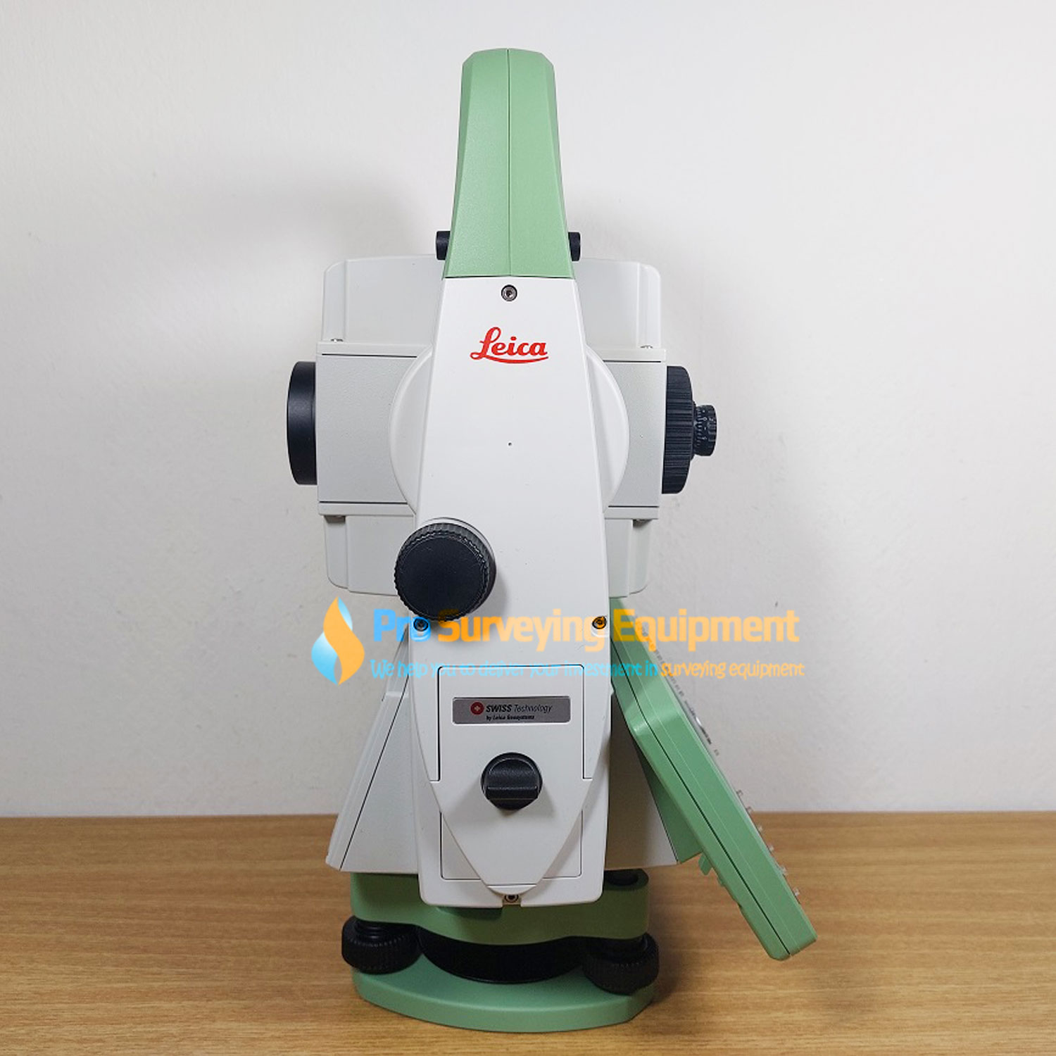
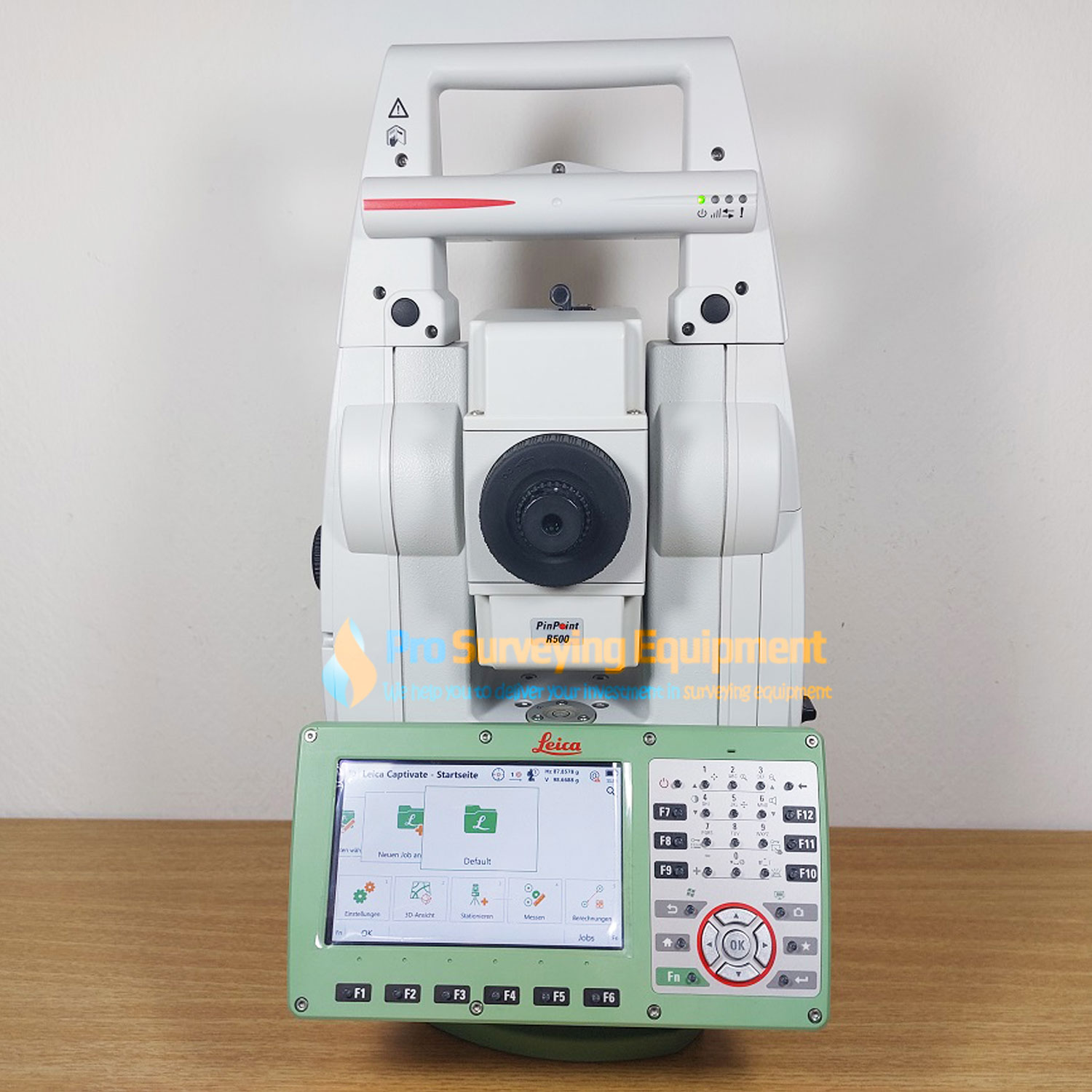
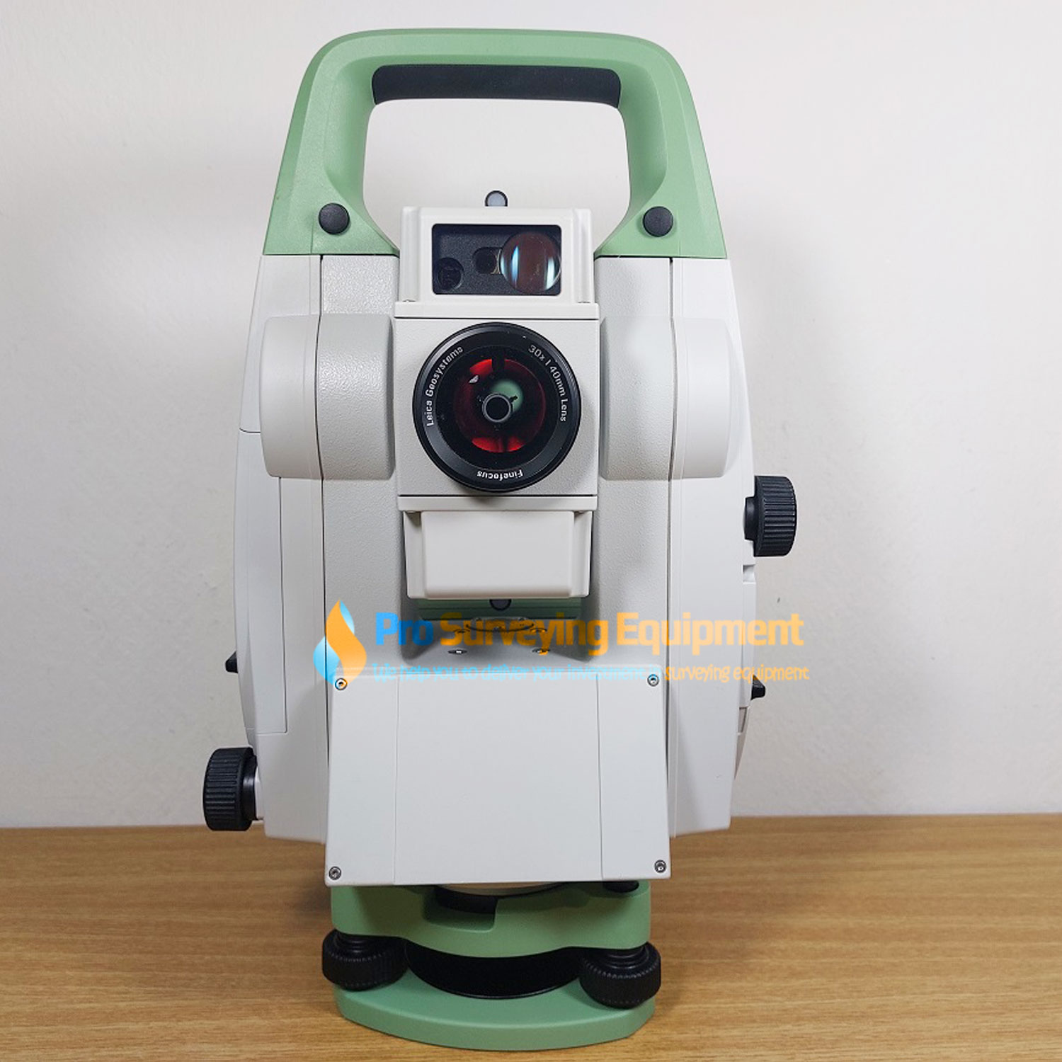
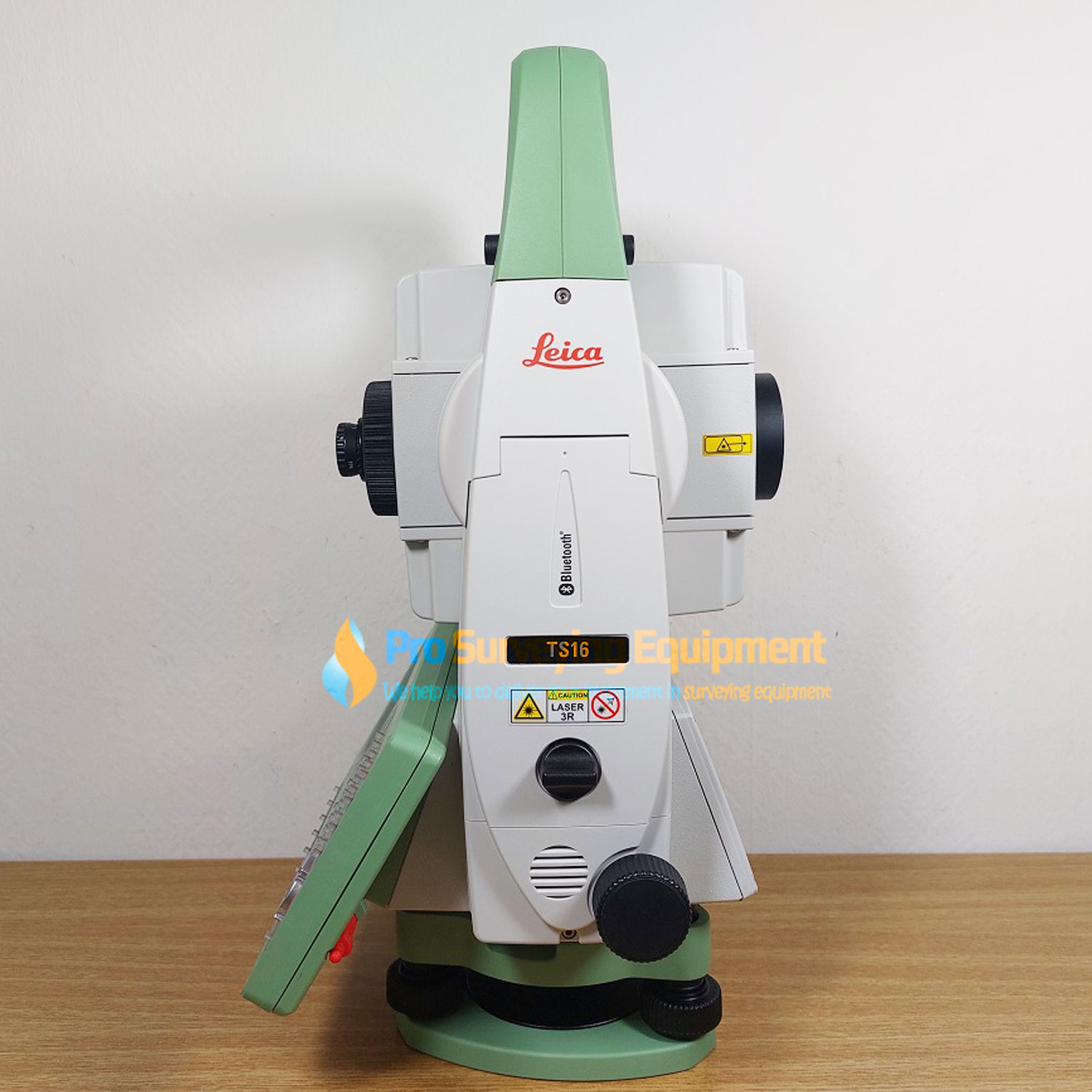
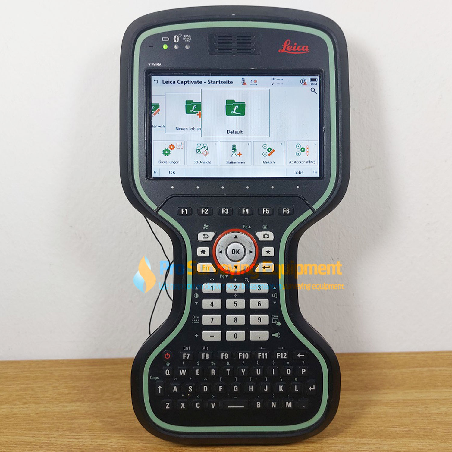
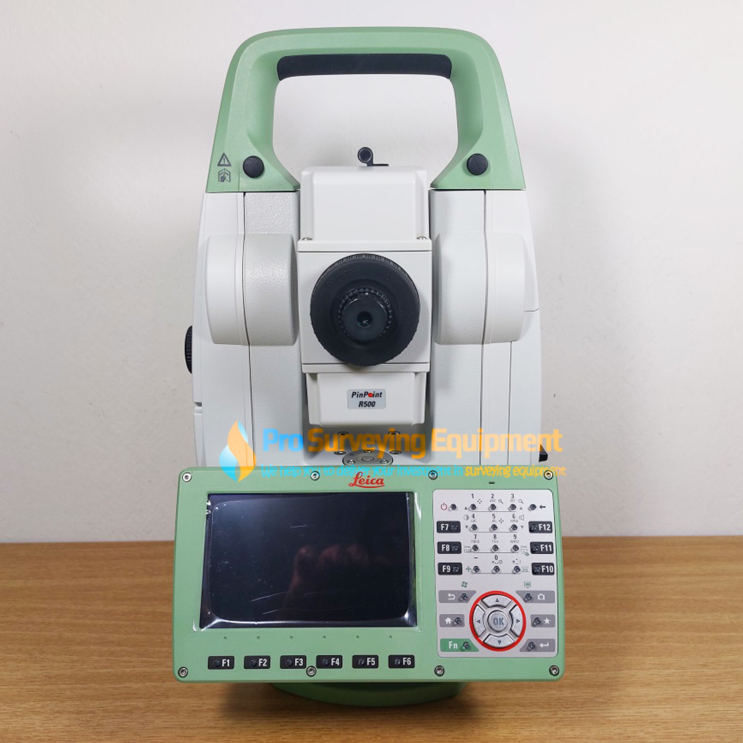
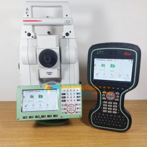
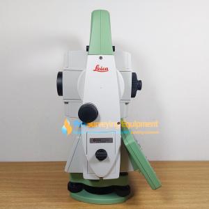
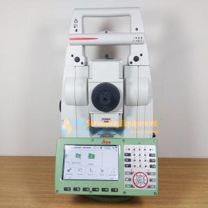
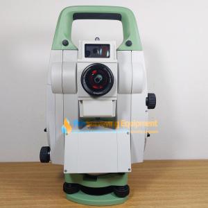
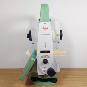
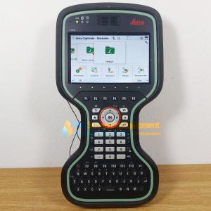
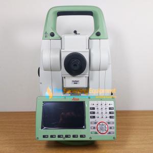
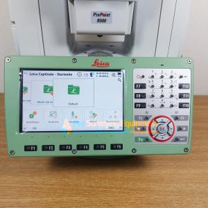
Leica TS16 1 R500 Robotic Total Station CS20 LTE
Ready to working to survey Leica TS16 1 R500 Robotic Total Station CS20 LTE. Fully inspected, serviced and calibrated by Leica Geosystems Authorised Distributor & Service Partner with 1 year warranty and we offer 14 day money back guarantee for your purchase
Includes;
- Leica TS16 P 1″ R500 Total Station with PowerSearch & AutoHeight
- 1 Year Leica Viva TPS (TS16) Basic Customer Care Package (CCP)
- RH18 Bluetooth Radio Handle
- GDF321 Tribrach with Optical Plummet
- GEB223 Li-Ion Battery x2
- GVP725 TS Robotic Container
- GTS46 LOC8
- Leica CS20 LTE Field Controller
- GEB334 Li-Ion Battery x2
- MSD1000 SD Memory Card 1GB
- GHT63 Pole Clamp
- GHT66 Holder Plate for CS20
- GHT67 Hand Strap
- GHT68 Utility Hook
- GVP724 TS Robotic Container
Accessories
- GKL341 Multi Charger
- GRZ4 360° Reflector
- GLS12 Reflector Pole
- GST20-9 Wooden Heavy Duty Tripod
Applications
- Leica Captivate (Measure & Stakeout TS/MS & CS)
- Leica Captivate Worksite+ for CS20 (Ref Line / DTM Stake / Volume Calculation)
Leica TS16: Robotic Total Station | Self-learning, survey-grade total station for all conditions
Made to face any challenge, task or project, the Leica TS16 automated total station will reliably support you and deliver accurate data when and where you need it. With the engaging Leica Captivate field software, paired with the self-learning ATRplus for automatic target recognition under any environmental circumstance, the TS16 can tackle every task with ease.
When to use the Leica TS16:
- Best-in-class automated total station for the widest variety of measurement tasks and applications: including one-person or two-person instrument operation for surveying and stakeout.
- Topographic surveying to create digital reality for mapping: control point measurements, adjustments, computations, and data collection with powerful coding and line work routines.
- Highest efficiency and productivity for stakeout and construction measurements: stakeout design data, as-built checks, BIM and clearance checks.
- Site preparation and machine guidance in heavy construction projects: site control, surveying, layout of design data, as-built checks, machine guidance, and road, rail and tunnel-focused workflows.
- Quick and reliable monitoring of locations, buildings, and objects in real-time in any environment: perfect for campaign monitoring and scaling up to an automated monitoring solution.
AutoHeight is a feature of the TS16 that helps you get your instrument height with a simple press of a button. This way you can reduce human error, forget about using a tape and always trust the instrument height you measured. Focus on your work and be done with the setup of your total station in the blink of an eye.
In order to always know where your instruments are in the field, you might consider adding LOC8. It not only doubles up as an excellent tracking and fleet management tool; it is also an excellent theft deterrence solution. LOC8 gives you the ability to remotely lock and unlock total stations with just a click of a button through your app or web account.
Leica TS16 comes optionally with DynamicLock – you can move and focus on your work and safety without having to stand and wait for the instrument to lock onto the target:
Self-learning in any application
Meet the world’s first self-learning total station. Automatically adjusting to any environmental conditions, the Leica Viva TS16 locks onto your, and only your, target. Regardless of how challenging the task or the amount of distractions in the field, this total station exceeds your expectations. Cover a wide range of applications when this total station sees precisely what you see. Known for the most comprehensive imaging capability available, you can capture exact conditions for any worksite through the self-learning capability of the Leica Viva TS16.
Engaging software
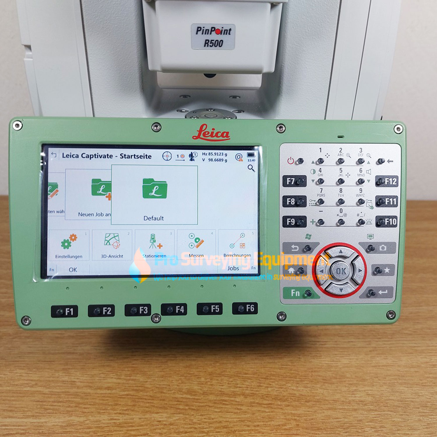
The Leica Viva TS16 total station comes with the revolutionary Captivate software, turning complex data into the most realistic and workable 3D models. With easy-to-use apps and familiar touch technology, all forms of measured and design data can be viewed in all dimensions. Leica Captivate spans industries and applications with little more than a simple swipe, regardless of whether you work with GNSS, total stations or both.
Infinitely bridging the field to the office
While Leica Captivate captures and models data in the field, Leica Infinity processes the information back in the office. A smooth data transfer ensures the project stays on track. Leica Captivate and Leica Infinity work in conjunction to join previous survey data and edit projects faster and more efficiently.
ATRplus Prism
With ATRplus there is only one prism – yours. ATRplus, born from five generations of optimisation, takes known and trusted automation performance to the next level. This superior technology maximises the total station’s ability to remain locked on your target, ignoring other distractions in the field. The Leica Viva TS16 learns the environment, delivers accurate positions even in difficult dynamic applications, and offers the fastest re-lock in case of interrupted line of sight.
World’s First Self-learning Total Station
- Automatically and continuously adapts for best measurement performance to site conditions, such as rain, fog, dust, sun, heat shimmer and reflections
- Identifies and ignores irrelevant targets and reflections
AUTOHEIGHT: REVOLUTIONISING INSTRUMENT HEIGHT MEASUREMENT
AutoHeight is a new feature of the TS16 that helps you get your instrument height with a simple press of a button. This way you can reduce human error, forget about using a tape and always trust the instrument height you measured. Focus on your work and be done with the setup of your total station in the blink of an eye.
ATRplus With Dominant Performance
- Automated target aiming range up to 1,500m
- Automated target locking range up to 1,000m
- Accelerated target search with PowerSearch
- Robust and highly-accurate position delivery in high dynamic applications
Image Assisted Surveying
- 5 megapixel wide angle overview camera
- Video frame rate of up to 20 Hz onboard and remote
- Automatic panoramic image capture
- Tap and turn for aiming
Pinpoint R1000 Distance Measurement
- Single EDM for high accuracy and wide range at the same time
- Visible measurement beam of small spot size
- Measurement range on any surface up to 1,000 m
Powered by Leica Captivate
- Engaging software with immersive experience
- Full 5” WVGA display
- Familiar apps at the simplicity of touch
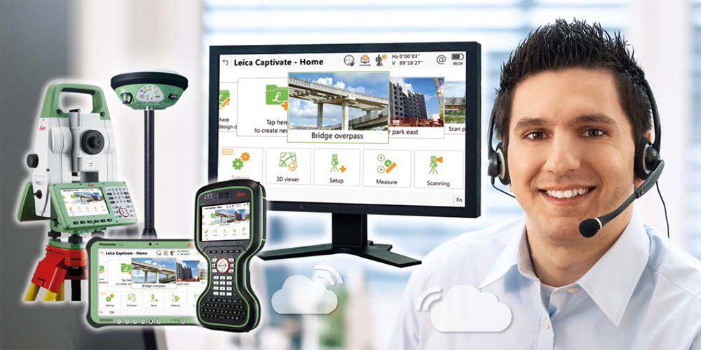
Leica Active Assist, Expert help, always by your side
Imagine being in the field and coming across a problem that prevents you from finishing the job. You call your local support engineer but have trouble explaining your exact problem. By simply pressing a button in the field software, you can activate Active Assist, and your local support engineer can securely access your device and see exactly what you see. By pressing the buttons for you, your support engineer can guide you back to full productivity within minutes. You can continue with confidence to complete the survey, and know if the problem ever arises again, you can solve it yourself after being guided step-by-step through a solution.
Handheld controllers connecting to the internet
With an integrated WiFi and/or 3.5G module (GSM/GPRS/UMTS), your Leica CS20 / Leica CS15 easily connects directly to the internet to enable Active Assist
